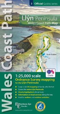
Llyn peninsula coast path map: 1:25,000 scale ordnance survey mapping for the llyn peninsula section of the wales coast path
Éditeur :
Northern Eye Books
ISBN :
9781908632609
Date de publication :
4 sept. 2020
Dimensions :
21,5 x 10,7 cm
Poids :
110 g
Langue :
Anglais
Pays d'origine :
Grande Bretagne
Enhanced, large scale (1: 25,000) Ordnance Survey mapping in a handy atlas format with all the mapping you need to walk the Llyn Peninsula section of the Wales Coast Path.