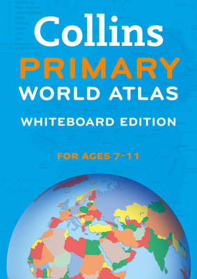
Collins primary world atlas whiteboard edition
Auteur :
Collins Maps
Éditeur :
Collins Maps
ISBN :
9780007485857
Date de publication :
14 févr. 2013
Dimensions :
19,2 x 13,5 x 1,5 cm
Poids :
80 g
Langue :
Anglais
Pays d'origine :
Grande Bretagne
Collins Whiteboard Atlases make geography lessons more interesting and get the whole-class to participate. The 'big book' format enables you to work with all your students together, manipulating images and focusing on specific areas of study. The interactive format will help you and your pupils get the most from your atlas.