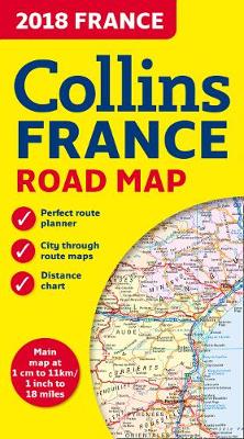
2018 collins map of france
Auteur :
Collins Maps
Éditeur :
HarperCollins Publishers
ISBN :
9780008262532
Date de publication :
14 déc. 2017
Dimensions :
25,0 x 14,0 x 1,2 cm
Poids :
130 g
Langue :
Anglais
Pays d'origine :
Grande Bretagne
New edition of annually revised, politically coloured road map of France at 18 miles to 1 inch / 11km to 1cm (1:1,120,000). The map shows individual department by name, and cities, towns, roads, European route numbers, motorways and toll motorways are clearly shown, making it the ideal map for planning and route-finding.