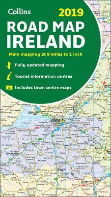
2019 collins map of ireland
Auteur :
Collins Maps
Éditeur :
HarperCollins Publishers
ISBN :
9780008272722
Date de publication :
21 mai 2018
Dimensions :
24,5 x 14,0 x 0,8 cm
Poids :
100 g
Langue :
Anglais
Pays d'origine :
Grande Bretagne
Full colour map of Ireland at 9 miles to 1 inch (1:570,240), with clear, detailed road network and counties and administrative areas shown in colour. This double-sided map covers the whole of Ireland, and is ideal for reference or route planning.