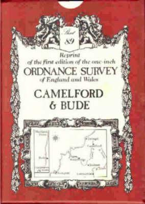
Ordnance survey maps: no. 89: camelford and hartland point
Auteur :
David & Charles Publishing
ISBN :
9780715344163
Date de publication :
1 mars 1969
Dimensions :
102,0 x 76,0 cm
Langue :
Anglais
Pays d'origine :
Grande Bretagne
This series offers reprints of the first edition of the one-inch Ordnance Survey maps of England and Wales, dating from 1805 to 1900. Detail includes villages, hamlets, farms, county boundaries, roads and railways.