Mapping maryland – the william hackerman collection
Auteur :
Schoeberlein, Robert W
Éditeur :
Maryland Historical Society
ISBN :
9780938420644
Date de publication :
26 févr. 1998
Dimensions :
27,7 x 21,6 x 0,5 cm
Poids :
322 g
Langue :
Anglais
Pays d'origine :
USA
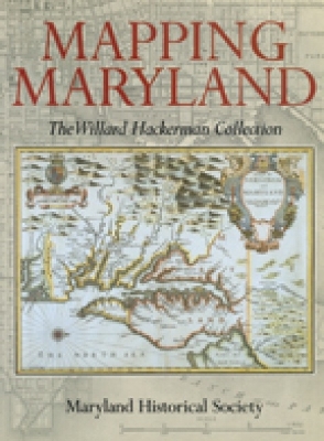
Reproducing over 70 maps, 15 in full color, from John White's 1590 map of Virginia showing "Chesepiooc Sinus," the first appearance of the name Chesapeake Bay on any map, to the meticulous maps of the late 19th century.