British isles by train and ferry, the
Éditeur :
Cosmographics Ltd
ISBN :
9780957447226
Date de publication :
24 juil. 2023
Dimensions :
25,0 x 11,0 cm
Langue :
Anglais
Pays d'origine :
Grande Bretagne
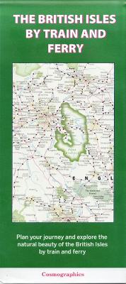
A detailed map showing how the rail network, along with ferries to more isolated areas, link to the beautiful landscape and scenery of the British Isles. Map includes National Parks, Areas of Outstanding Natural Beauty, forest and woodland areas and heritage coast. Great for planning your journey to explore the British countryside.