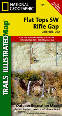
Flat tops sw/riflegap: trails illustrated
Auteur :
National Geographic Maps
Éditeur :
National Geographic Maps
ISBN :
9781566952774
Date de publication :
2 août 2012
Dimensions :
19,1 x 10,2 x 1,5 cm
Poids :
67 g
Langue :
Anglais
Pays d'origine :
USA
Coverage includes White River National Forest; Grand Hogback; and the Rifle Gap and Rifle Falls State Recreation Areas; Rifle Mountain Park; and the city of Rio Blanco. Also includes Rifle Gap Reservoir, Rifle Creek, and Meadow Lake. Includes UTM grids for use with your GPS unit.