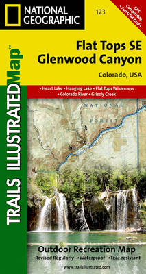
Flat tops se/glenwood canyon: trails illustrated
Auteur :
National Geographic Maps
Éditeur :
National Geographic Maps
ISBN :
9781566952842
Date de publication :
2 août 2012
Dimensions :
19,1 x 10,8 x 0,8 cm
Poids :
69 g
Langue :
Anglais
Pays d'origine :
USA
Coverage includes White River National Forest; Flat Tops Wilderness; Deep Creek Recreational Area; Eagle and Colorado rivers; Coffee Pot Lakes, Heart, Haypress, Hanging and Sweetwater lakes; Tibbett's Ridge; Glenwood Canyon Trail; and Cottonwood Pass. Includes UTM grids for use with your GPS unit.