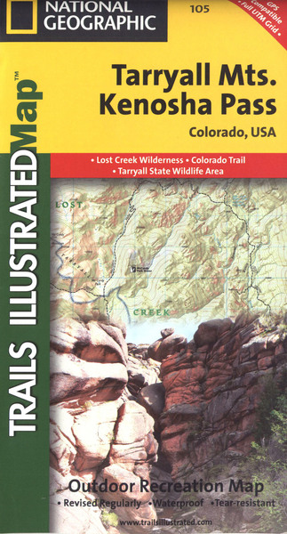
Tarryall mountains: trails illustrated
Auteur :
National Geographic Maps
Éditeur :
National Geographic Maps
ISBN :
9781566952866
Date de publication :
2 août 2012
Dimensions :
23,5 x 10,8 x 1,3 cm
Poids :
91 g
Langue :
Anglais
Pays d'origine :
USA
Coverage includes Pike National Forest, Lost Creek Wilderness, Pine, Bailey and Jefferson. Also includes the Kenosha, Bison, Stoney and Hankins passes, Tarryall Reservoir, the North Fork of South Platte and Wellington Lake, and a segment of the Colorado Trail. Includes UTM grids for use with your GPS unit.