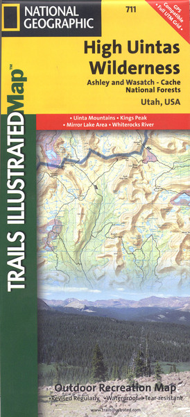
High uintas wilderness: trails illustrated other rec. areas
Auteur :
National Geographic Maps
Éditeur :
National Geographic Maps
ISBN :
9781566953719
Date de publication :
2 août 2012
Dimensions :
23,5 x 10,8 x 1,0 cm
Poids :
97 g
Langue :
Anglais
Pays d'origine :
USA
Coverage includes Wasatch-Cache National Forest; the entire High Uintas Wilderness and surrounding backcountry; Hoop, Brown, Moon, Crystal, Little Lyman and Atwood lakes; Paradise Park, Cedar View, Upper Stillwater and Whitney reservoirs; Red Knob, Squaw, Smith Fork, Anderson, and Thompson passes. Includes UTM grids for use with your GPS unit.