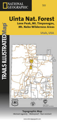
Wasatch front south: trails illustrated other rec. areas
Auteur :
National Geographic Maps
Éditeur :
National Geographic Maps
ISBN :
9781566954488
Date de publication :
2 août 2012
Dimensions :
23,5 x 10,8 x 0,5 cm
Poids :
95 g
Langue :
Anglais
Pays d'origine :
USA
Coverage includes Uinta National Forest, Mt. Nebo, Lone Peak and Mt. Timpanogos Wildernesses; Granite, American Fork, Orem; Little Cottonwood Canyon, Santaquin, Devils Kitchen; Deer Creek and Silver Lake Flat reservoirs and Little Provo River. Includes UTM tick marks for use with your GPS unit.