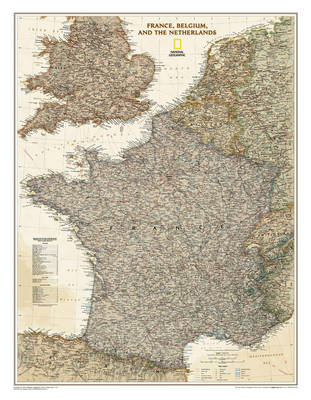
France, belgium and the netherlands
Auteur :
National Geographic Maps
Éditeur :
National Geographic Maps
ISBN :
9781597752879
Date de publication :
7 mai 2009
Dimensions :
64,0 x 5,6 x 7,8 cm
Poids :
144 g
Langue :
Anglais
Pays d'origine :
USA
NEW! Our executive style political map of France, Belgium, and the Netherlands features country boundaries, place names, bodies of water, airports, major highways and roads, and much more. Map is printed on premium quality paper stock, rolled, and packaged in a clear, hard plastic tube.""Map Scale = 1:1,953,000Sheet Size = 23"" x 30""""