Walking the pennine way map booklet: 1:25,000 os route mapping
Auteur :
Dillon, Paddy
Éditeur :
Cicerone Press
ISBN :
9781786311412
Date de publication :
2 mai 2025
Dimensions :
17,2 x 11,6 x 0,9 cm
Poids :
160 g
Format :
Laminated cover
Langue :
Anglais
Pays d'origine :
Grande Bretagne
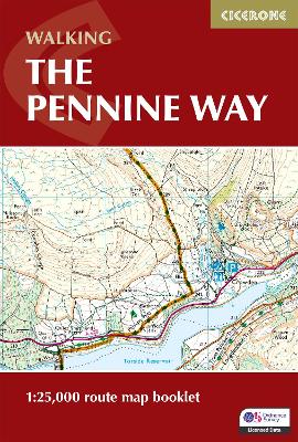
Map of the 265 mile (426km) Pennine Way National Trail, between Edale in the Peak District and Kirk Yetholm in the Scottish Borders. This booklet is included with the Cicerone guidebook to the trail, and shows the full route on OS 1:25,000 maps. This popular long-distance route typically takes three weeks to complete.