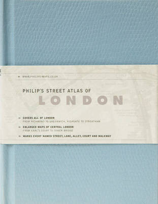
Philip's street atlas of london
ISBN :
9781849071062
Date de publication :
22 mars 2010
Dimensions :
14,4 x 11,4 x 1,8 cm
Poids :
242 g
Langue :
Anglais
Pays d'origine :
Grande Bretagne
A street atlas of London. It includes the street maps that mark various streets, lanes, alleys, courts and walkways, as well as car parks, tubes, rail and bus stations, post offices, schools, colleges, hospitals, police and fire stations, places of worship, leisure centres, footpaths and bridleways, golf courses, and many other places of interest.