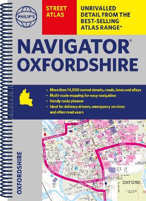
Philip's navigator street atlas oxfordshire: spiral edition
Auteur :
Philip's Maps
Éditeur :
Octopus Publishing Group
ISBN :
9781849076319
Date de publication :
6 juil. 2023
Dimensions :
26,6 x 19,4 x 1,4 cm
Poids :
640 g
Langue :
Anglais
Pays d'origine :
Grande Bretagne
The only county Street Atlas with all the 11,000 named streets of Oxfordshire and perfect back-up for emergency services, delivery drivers, visitors and locals.