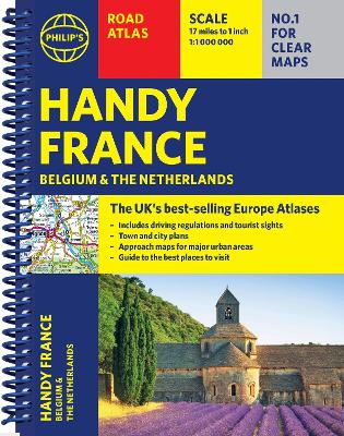
Philip's handy road atlas france, belgium and the netherlands: spiral a5
Auteur :
Philip's Maps
Éditeur :
Octopus Publishing Group
ISBN :
9781849077040
Date de publication :
2 janv. 2025
Dimensions :
21,0 x 15,6 x 0,4 cm
Poids :
114 g
Langue :
Anglais
Pays d'origine :
Grande Bretagne
Philip's Handy Road Atlas of France, Belgium and The Netherlands features new digital cartography from Philip's - voted Britain's clearest and most detailed European mapping in an independent consumer survey. This compact A5 atlas with lie-flat binding is perfect for travelling across France and the surrounding countries.