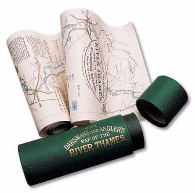
Oarsman's and angler's map of the river thames 1893, the: from its source to london bridge
Auteur :
Ravenstein, Ernest George
Éditeur :
Shire Publications Ltd
ISBN :
9781873590027
Date de publication :
1 janv. 1991
Dimensions :
270,5 x 16,5 cm
Poids :
114 g
Langue :
Anglais
Pays d'origine :
Grande Bretagne
A map of the River Thames. Riverside towns and villages are marked with historical information and details of the locks and how to operate them. There are also details of toll charges and angling laws and a description of life on the river a century ago.