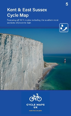
Kent cycle map featuring the high weald and kent downs
Auteur :
Cycle Maps UK
Éditeur :
Cordee
ISBN :
9781904207801
Date de publication :
20 août 2023
Dimensions :
16,3 x 10,5 cm
Poids :
50 g
Langue :
Anglais
Pays d'origine :
Grande Bretagne
The maps are all produced at a scale of 1:100 000 showing important features including the National cycle Network. Sections on road, off road and traffic free are all shown in differing colours along with their route number.