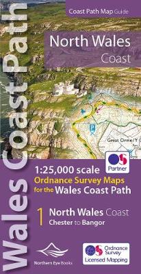
North wales coast path map: 1:25,000 ordnance survey maps for the wales coast path
Éditeur :
Northern Eye Books
ISBN :
9781908632586
Date de publication :
2 mars 2022
Dimensions :
21,5 x 10,7 cm
Poids :
82 g
Langue :
Anglais
Pays d'origine :
Grande Bretagne
One of seven handy, lightweight, pocket sized map bookscovering the whole of the 870 mile/1400 kilometre Wales Coast Path. This volume covers North Wales from Chester to Bangor and includes enhanced large scale (1:25,000) Ordnance Survey mapping in a handy atlas format.