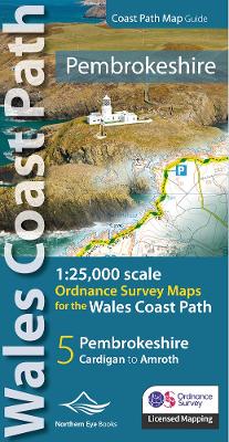
Pembrokeshire coast path map: 1:25,000 ordnance survey maps for the wales coast path
Éditeur :
Northern Eye Books
ISBN :
9781908632623
Date de publication :
18 sept. 2023
Dimensions :
21,5 x 10,7 cm
Poids :
112 g
Langue :
Anglais
Pays d'origine :
Grande Bretagne
Continuous OS mapping covering the Wales Coast Path between Cardigan and Amroth. Contains extracts from large scale 1:25,000 Explorer maps 35 and 36.