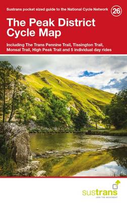
Peak district cycle map 26: including the trans pennine trail, tissington trail, monsal trail, high peak and 5 individual day rides
Auteur :
Sustrans
Éditeur :
Sustrans
ISBN :
9781910845134
Date de publication :
7 mars 2016
Dimensions :
15,5 x 9,9 cm
Langue :
Anglais
Pays d'origine :
Grande Bretagne
This is in the series of pocket sized, folded maps to the National Cycle Network which include clearly mapped on-road and traffic-free paths, easy to read contours and detailed town insets. Published by Sustrans.