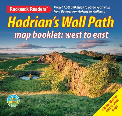
Hadrian’s wall path map booklet
Éditeur :
Rucksack Readers
ISBN :
9781913817350
Date de publication :
5 nov. 2025
Dimensions :
12,0 x 13,0 x 0,2 cm
Poids :
45 g
Langue :
Anglais
Pays d'origine :
Grande Bretagne
Hadrian’s Wall Path is a superb National Trail that runs for 85 miles beside the Roman wall between Bowness-on-Solway and Wallsend, near Newcastle. Experts can't agree whether it's better to walk it from west to east or vice versa, so this booklet uniquely maps it in both directions, scale 1:50,000, with miles correctly numbered each way.